Home > Blossary: Multilingual Geodetic Dictionary
The idea of multilingual geodesic glossary arose from the need to achieve easier international scientific and technical collaboration in geodesy. Due to the UNESCO’s support, the idea was turned into a decision and in 1964 Dictionnarie multilingue de la FIG (DMFIG) – geodesic glossary in French, English and German – appeared.
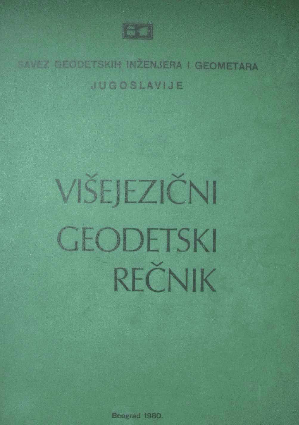
This masterpiece was the foundation for the eight-lingual geodesic glossary published in Belgrade in 1980 by the Association of Geodetic Engineers and Surveyors of Yugoslavia. Large number of experts – as individuals or through their institutions – took part in the creation of about 5,500 entries in Serbo-Croat (Croat-Serbian), Slovenian, Macedonian, Albanian, French, English, German and Russian languages.
Category: Engineering
34 Terms
1
Created by: zblagojevic
Number of Blossarys: 5
My Terms
Collected Terms
English (EN)
 English (EN)
- English, UK (UE)
- German (DE)
- Dutch (NL)
- Slovak (SK)
- Tamil (TA)
- Turkish (TR)
- Norwegian Bokmål (NO)
- Estonian (ET)
- Indonesian (ID)
- Hindi (HI)
Compare Language
A rule equipped with simple sights and used for determination of direction as a part of a surveying instrument.
Domain: Real estate; Category: Corporate
A submarine contour, on a marine map or chart, joins points of equal elevation (height) below mean sea level.
Domain: Real estate; Category: Corporate
Land classification for valuation purposes.
Domain: Real estate; Category: Corporate
Determining the type and quality of cadastral parcels for agricultural and forest land within a cadastral commune in relation to cadastral district.
Domain: Real estate; Category: Corporate
Center of point whose position has been or will be determined by surveying methods.
Domain: Real estate; Category: Corporate
My other Blossarys